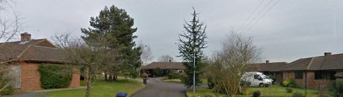
Croft Heights is a modern development of eight houses dating from the mid-1980s [ref. Whiteparish 100 years] and a single later house. The plot had previously been occupied by the Whiteparish Brickworks, which had closed at some time between 1876 and 1901. By 1966 the site was occupied by the house called High Croft, from which the name of the road was taken, and a poultry farm. High Croft is still there (2021), with road access from Croft Heights and a pedestrian entrance to and from Common Road that joins The Banks entrance drive. This is immediately north of Rose Bank, near which the toll gate on Common Road once stood (see Turnpikes).
The initial development was of eight houses, leaving the plot on which number 1A now stands, next to the telephone exchange, empty. Number 1A was built much later, and this page gives further details, that page also containing more information about High Croft and the poultry farm, related by a past inhabitant of the house.
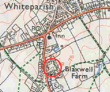
The left hand map at the bottom of this page shows the original Croft Heights development outlined in magenta, with the house that was added later (1A) outlined in blue. To the right is a map with a red line showing the extent of the brickworks that occupied this area of the village until the end of the nineteenth century.
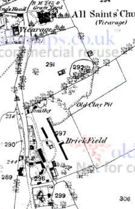
Whiteparish brickworks in 1876 (1:2500 OS map)
 .
. 
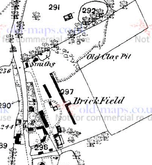
The site of the earlier Whiteparish brickworks in 1901 and 1925 (1:2500 OS map)
 .
. 
The site of the earlier Whiteparish brickworks in 1966 and 1978 (1:2500 OS map)
 .
. 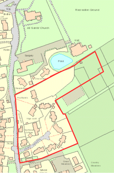
Croft Heights as built: purple outline; addition of 1A: blue outline; Brickworks site: red outline